September 3, 2021
Mt. Baker Wilderness Area
Whatcom Co. WA
We were able once again to do our annual family outing to the Mt. Baker Wilderness Area in late Summer. Given COVID and all, we were able wrangle three of my kids and one grandson this time. Although it was a bit hazy with some clouds moving in about mid day they were high enough to allow us to capture the big mountains and late summer flora. Sadly, the smoke has become part of the ambience as it hung around as well, probably from fires in British Columbia or Eastern Washington on the other side of the mountains. No Mountain Goats this time. Check this link out for our lucky trip seeing the big goat along this same trail 4 years ago.
Having hiked this area for the past 50 years, I cannot help but notice the shrinking glaciers. After Mt. Rainier, Mt Baker hosts the most glaciers in the Cascade range (13) and they are still there, just not as big and diminishing by the year. They have been measurably retreating for some years having lost up to 30% of their mass since 1984. In another 50 years, they will be mostly gone.
The globe is clearly warming and melting these monster ice floes as they drain down the mountains. Even if GW stopped tomorrow, it would take decades before we could replace the lost glacial mass. And that ain’t gonna happen.
I guess the answer to “Who Shrunk the Glaciers?” is that “WE DID”. And we continue to do so.

Sorry to start with the gloom. But if you can get here soon, you can still enjoy the beauty of the alpine wilderness and smell the glorious air, after the fires are out this fall.
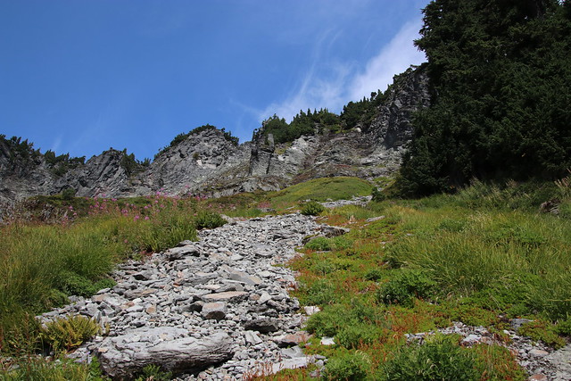
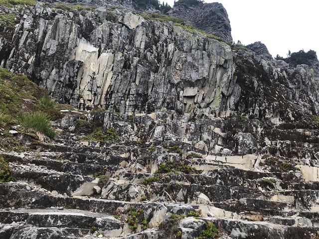
Here follows a photo log of our trip with all the glorious vistas and flora along the way. This hike begins at Artist Point parking lot, passes by the marker denoting entrance to the Mt. Baker Wilderness Area and then heads west along the talus covered slopes of Table Mountain.

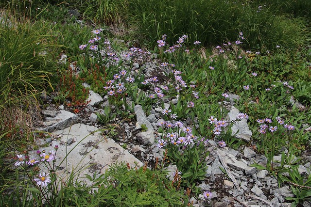
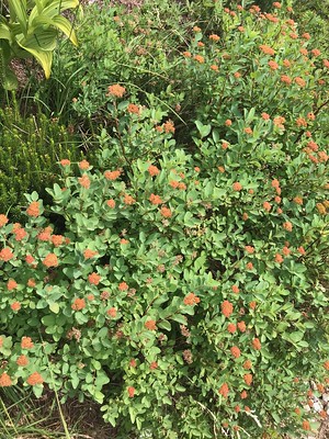
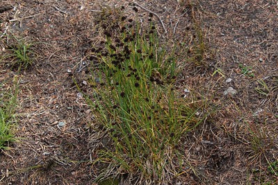
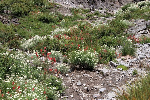
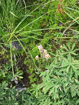
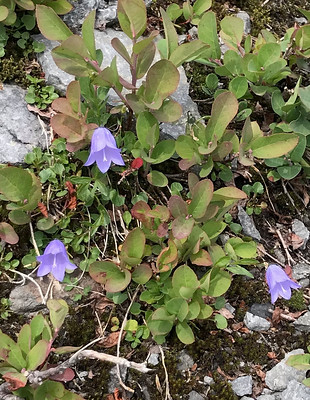
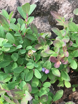
As we move along the trial we are treated to various sights. There are some wildflowers still in bloom, although many have faded already due to the record breaking hot and dry summer. You can see some of the ever present “Fire Weed” up to the right above.


We stopped at the trail divide in the early afternoon and indulged in our traditional hiking lunch of bagel sandwiches, dill pickles, potato chips, cookies and peanut M&Ms. This has been our trail lunch since we started hiking up here when the kids were very young. It was just as good this time so many years later.
After lunch I decided to do a 360 0 video from atop the rock where we sat. My attempt was jerky so my daughter took a try. Her attempt was smoother. Anyway, you can get the idea of your lunch scenery which ever way we looked. (Please ignore the chatter)
The video begins looking west at Mt. Baker then swings to the north across several ridges such as Skyline Divide and on to Table Mountain, an andesite remnant of circa 300,000 y/o lava flow.
The video then swings to the east and features Mt. Shuksan, a non-volcanic massif composed of Shuksan greenschist. Swinging south the view down the valley to Baker Lake is obstructed by Ptarmigan Dome before returning west to Mt. Baker.
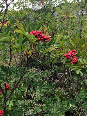
On the way back down the trail, one has a different view of the trip and we see some things we missed on the way up. In this case we were more likely to be looking down slope than up slope as we did going up.
These last photos are from the trip back to the trail head.


That was our family annual trip to Mt. Baker area. It never gets old after all these years. There is always a new plant or rock formation to ponder, explore and to look up.